Horst und Petra Höcker
Wir sind dann mal weg ...
Home
/
Vereinigte Staaten 2014
/
12.09.2014
Yellowstone National Park - Tag 2
Fahrstrecke: 210,8 km
Allgemeine Informationen und Detailkarten
A
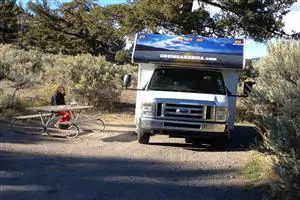
Mammoth Campground
Detailkarte ...
B
Colter Bay Campground
Detailkarte ...
Bilderserie
1
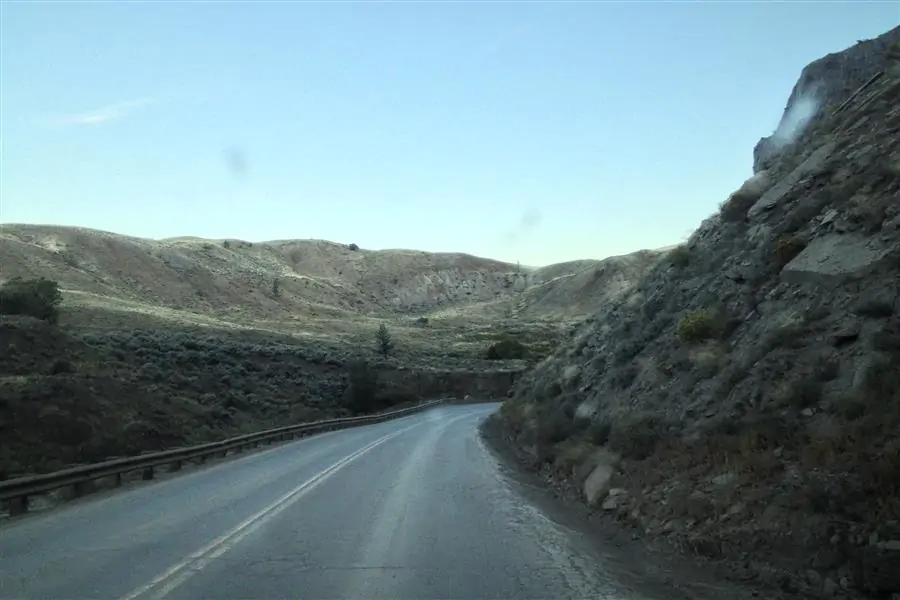
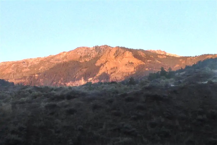
North Entrance Road
1
North Entrance Road
1
North Entrance Road
1
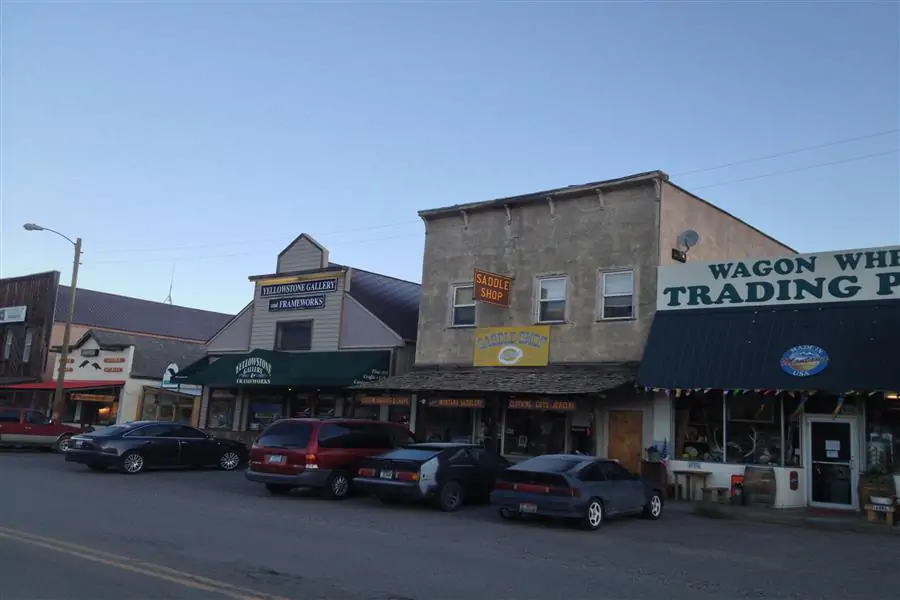
Gardiner
1
Roosevelt Arch
2
Mammoth Campground
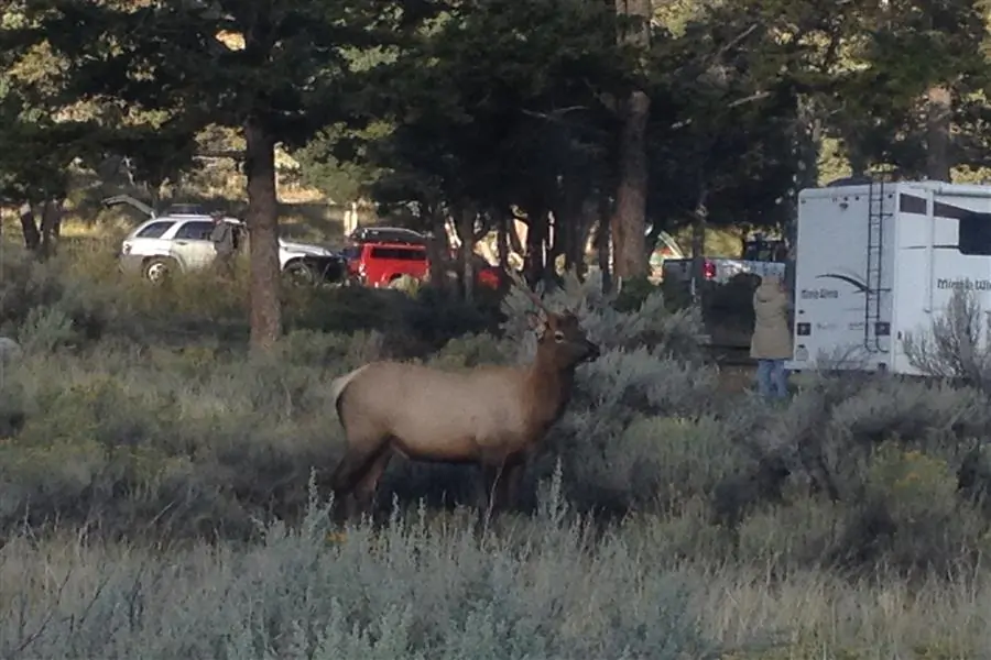
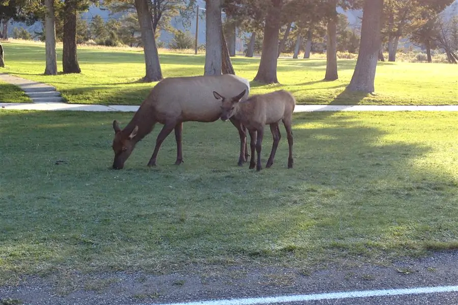
2
Mammoth Elk
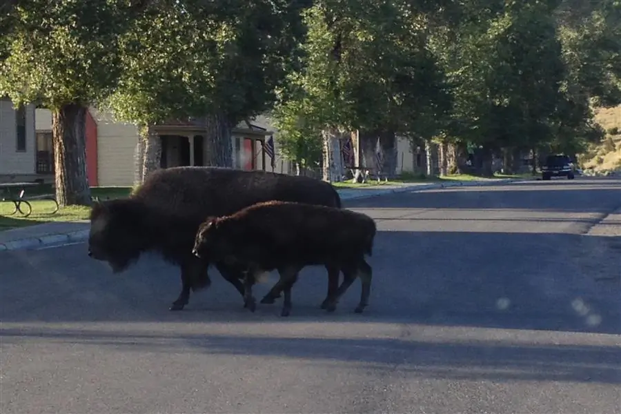
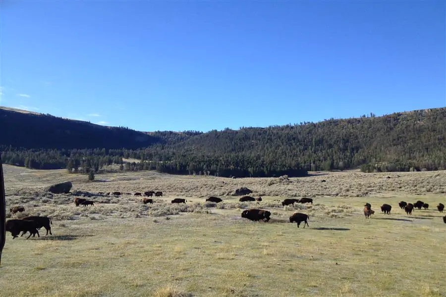
2
Mammoth Bison
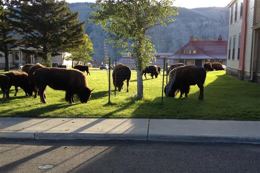
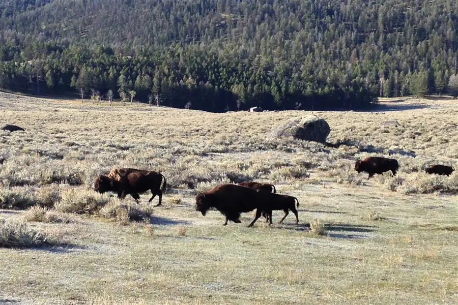
2
Mammoth Bison
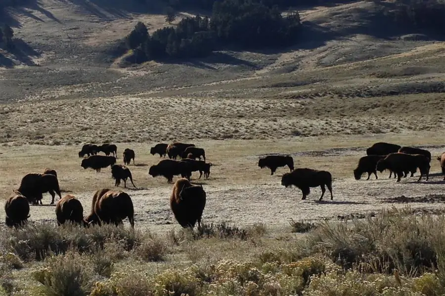
2
Mammoth Bison
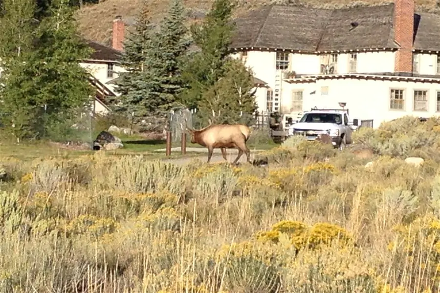
2
Mammoth Dear
3
Hwy 212 Bison
3
Hwy 212 Bison
3
Hwy 212 Bison
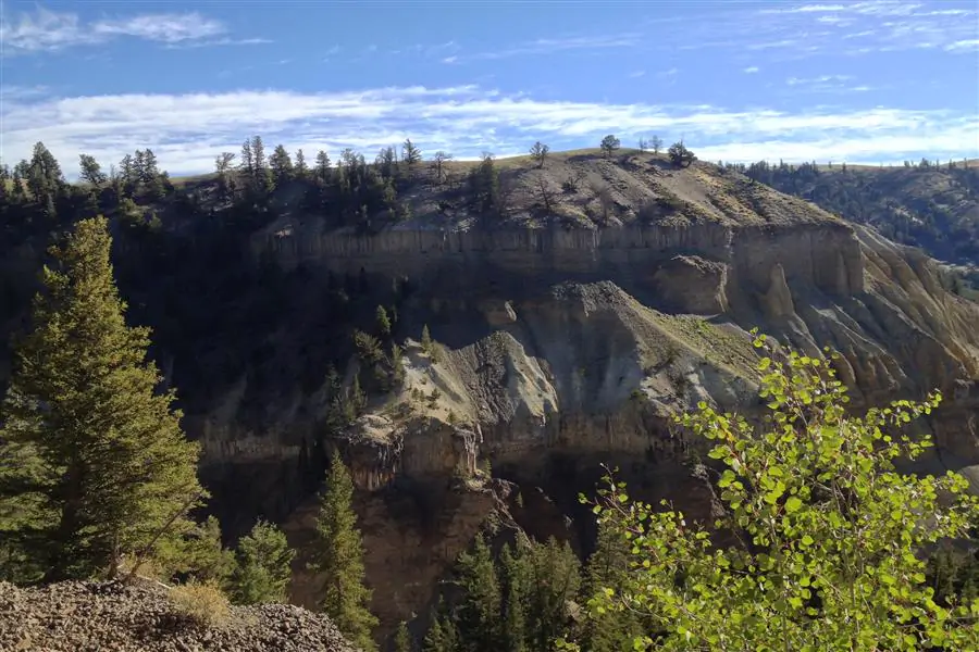
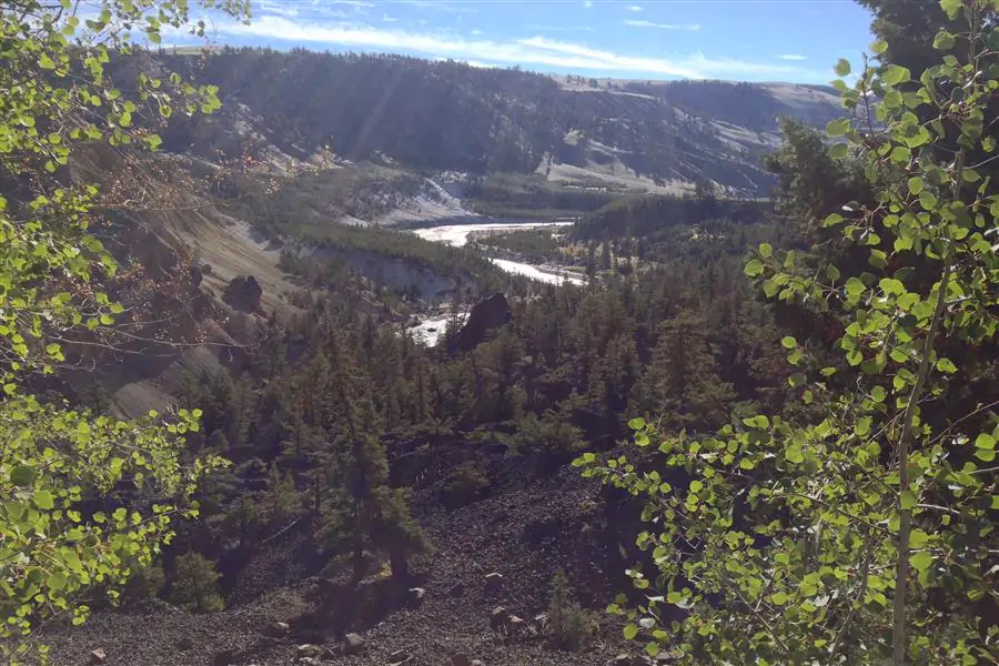
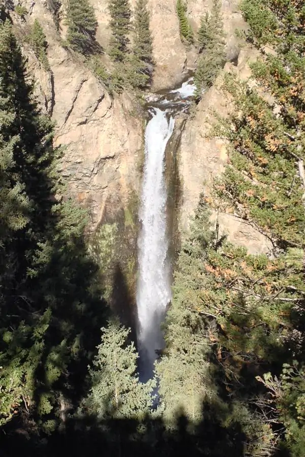
4
Grand Loop bei Tower Fall
4
Grand Loop bei Tower Fall
4
Grand Loop bei Tower Fall
4
Grand Loop Tower Fall
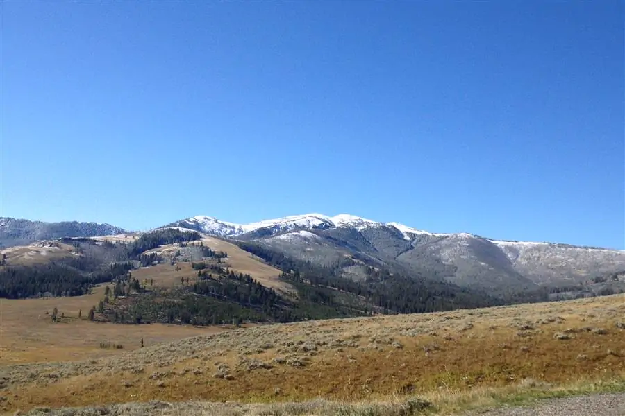
5
Grand Loop zum Mt. Washburn
5
Grand Loop zum Mt. Washburn
5
Grand Loop zum Mt. Washburn
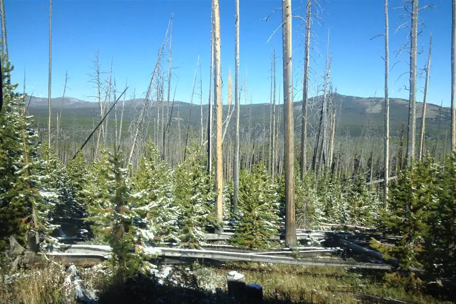
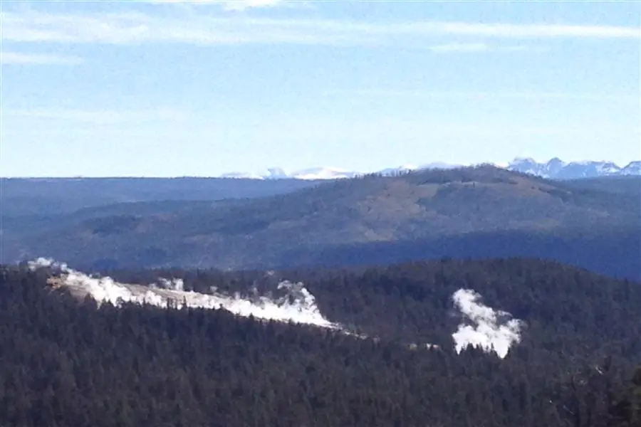
6
Washburn Hot Springs Overlook
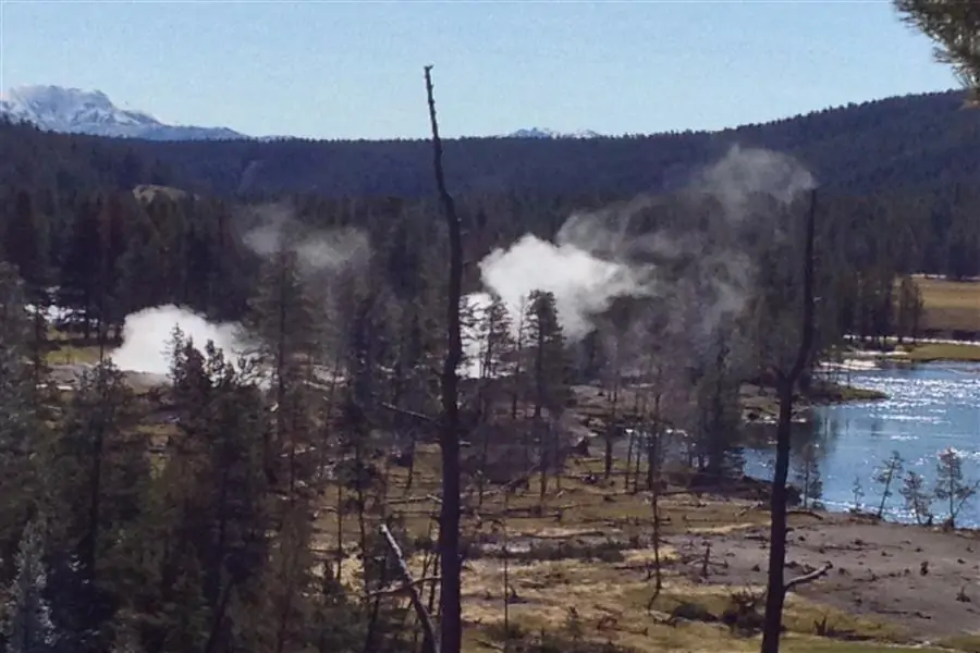
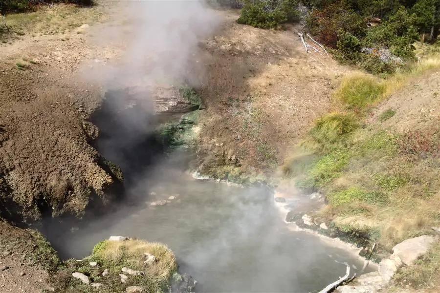
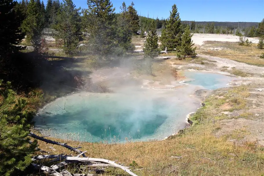
7
Dragon Mouth Spring
7
Dragon Mouth Spring
7
Yellowstone River
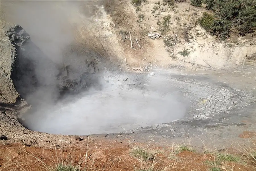
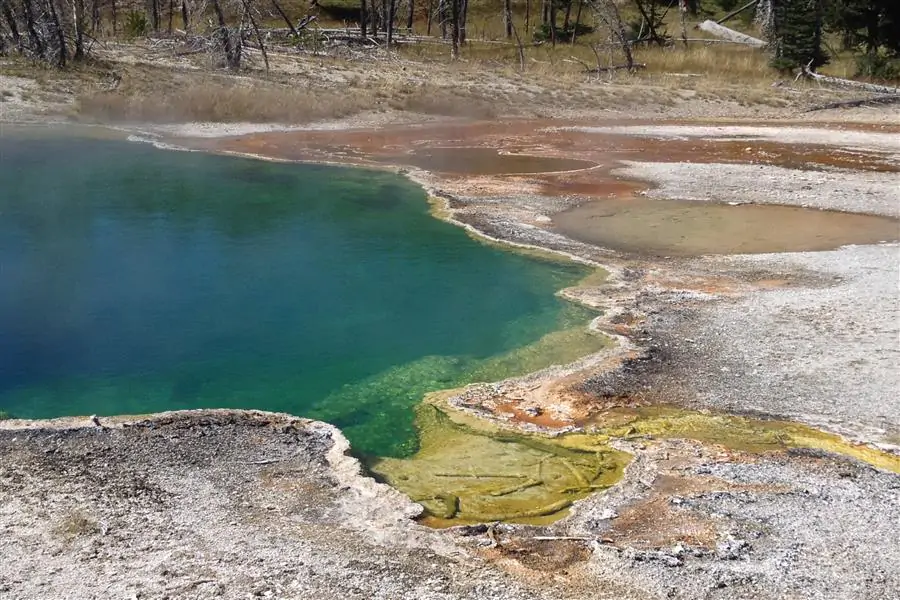
7
Mod Vulcano
7
Mod Vulcano
7
Mod Vulcano
7
Mod Vulcano
7
Mod Vulcano
7
Mod Vulcano
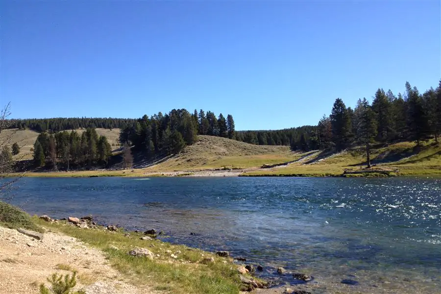
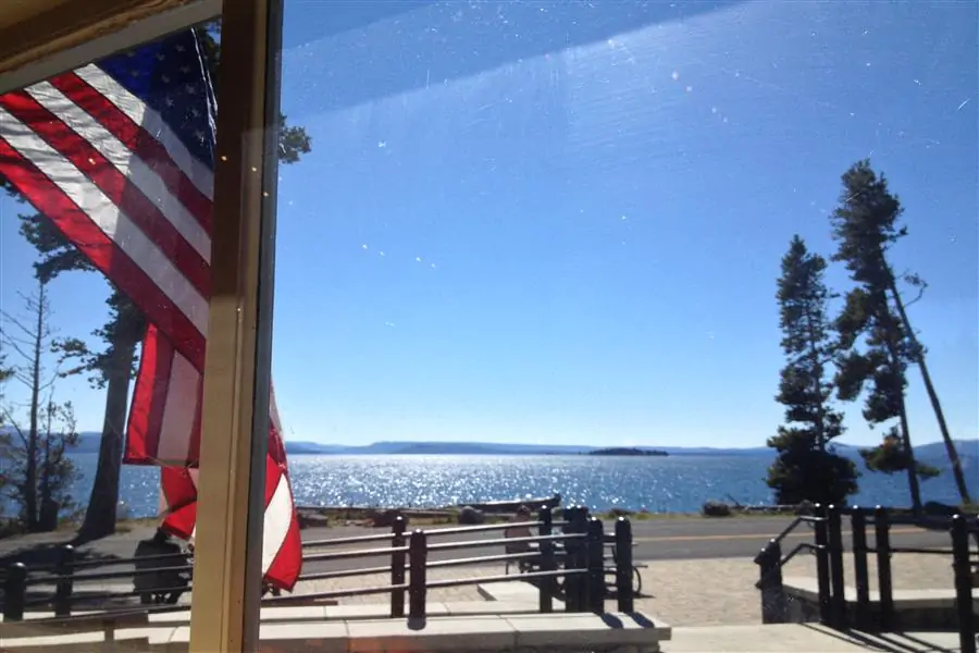
8
Yellowstone Lake
8
Yellowstone Lake
9
Yellowstone Lake
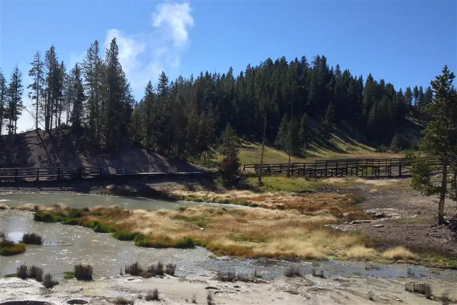
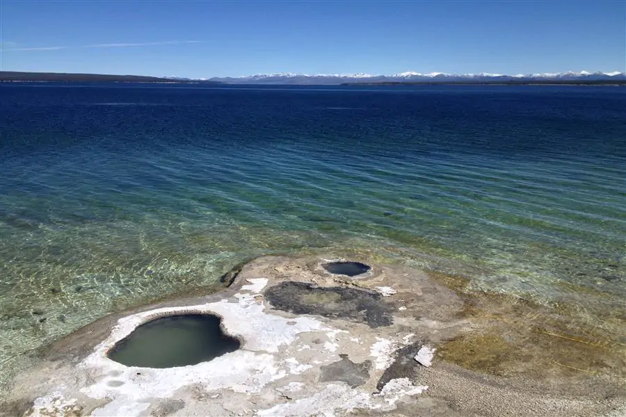
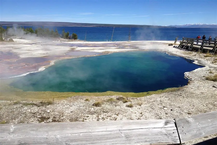
10
West Thumb Gwyser Basin
10
West Thumb Gwyser Basin
10
West Thumb Gwyser Basin
10
West Thumb Gwyser Basin
10
West Thumb Gwyser Basin
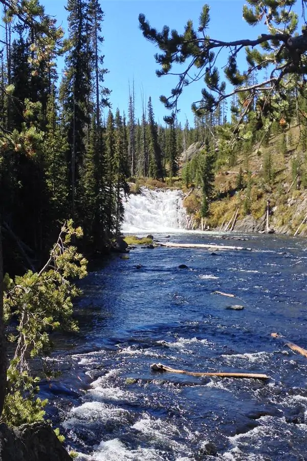
11
Lewis Falls
12
South Entrance Road
Copyright © 2014 - 2023 Horst und Petra Höcker. All rights reserved.